Maps by Jeff
Killarney - Paddling Map
Killarney - Paddling Map
Couldn't load pickup availability
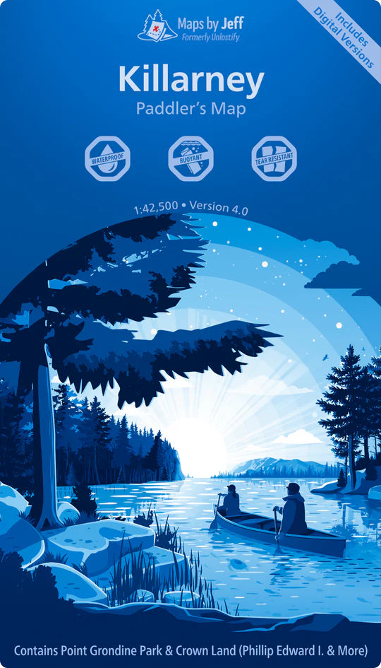
Maps By Jeff – Killarney Paddling Map
Plan and navigate your next adventure in Killarney Provincial Park with confidence using the Maps By Jeff – Killarney Paddling Map. This expertly researched, waterproof and tear-resistant map is an essential companion for paddlers, hikers, and backcountry explorers alike.
Covering the park at a detailed 1:42,500 scale, this map includes:
-
Access points, including locations offering canoe rentals and supplies
-
Canoe routes and portages, complete with distances, estimated times, and difficulty ratings
-
Hiking trails, also marked with lengths, times, and difficulty levels
-
Notable points of interest and local historical sites
-
Helpful trip-planning info such as prevailing winds, water levels, and even poison ivy zones
Whether you’re heading out for a weekend paddle or planning a multi-day trek, this map provides everything you need to create a safe and enjoyable trip for everyone in your group.
Share