Maps by Jeff
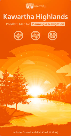
Kawartha Highlands - Paddling Map
Kawartha Highlands - Paddling Map
Couldn't load pickup availability
Unlostify Kawartha Highlands Camping Map
Plan like a pro. Paddle like a local.
Discover Ontario’s Kawartha Highlands like never before with Unlostify’s double-sided, high-performance camping map. This innovative map includes:
🧭 Planning Side (Whiteboard Map)
-
Reusable and erasable for flexible trip planning
-
13 water access points with info on canoe rentals, supplies & free parking
-
All campsites clearly numbered—includes both reservable park sites and free-use Crown land sites
-
Portages graded by difficulty, length, steepness, and time
-
Perfect for drawing, erasing, and reworking your route until it’s just right
🌊 Trip Side (Field Map)
-
Waterproof, tear-proof, and it floats
-
Glow-in-the-dusk inks for easy reading in low light
-
Ideal for navigating on the water—rain or shine
🗺️ Bonus Features
-
Includes Petroglyphs Provincial Park and surrounding Crown lands
-
Explore rare natural features like meromictic lakes and Canada’s largest collection of ancient petroglyphs
-
Detailed enough to uncover hidden shortcuts and secret routes only locals know
Whether you’re a seasoned paddler or a first-time adventurer, the Unlostify Kawartha Highlands Map is for you.
Share