Maps by Jeff
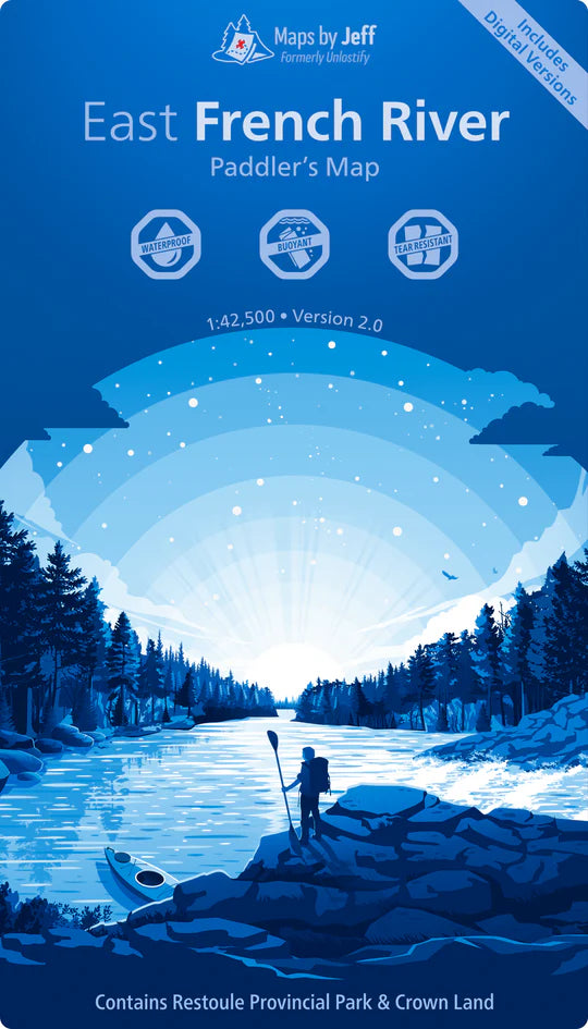
East French River - Paddling Map
East French River - Paddling Map
Couldn't load pickup availability
Maps By Jeff – French River Maps Overview
Description:
Maps By Jeff produces waterproof, tear-resistant, and highly detailed maps of the French River Provincial Park and surrounding area. These maps are designed for outdoor adventurers who value both beauty and precision in navigation.
Each map includes:
-
Canoe routes & campsites
-
Topography & portages
-
Local history
-
Flora & fauna
-
Crown land boundaries
-
Hunting zones
-
Fire towers & cell towers
-
Updated corrections to commonly misrepresented routes/portages
Available Map Sectors:
-
East French River Map
Covers: Highway 69 to Lake Nipissing -
West French River Map
Covers: Highway 69 to Georgian Bay
Map Specs:
-
Scale: 1:42,500
-
Durability: Waterproof & tear-resistant
-
Use case: Ideal for canoeing, kayaking, camping, hiking, and backcountry exploration
Perfect For:
Outdoor enthusiasts, paddlers, backcountry campers, and anyone exploring the French River region looking for reliable, detailed, and thoughtfully crafted navigation tools.
Would you like help finding where to buy these maps or tips on trip planning for the French River?
Share